
Lightweight & portable
Bring the compact platform to the site rather than building the site around a large installation.

Drone Detection
Lightweight, low-cost drone detection. A configurable, portable approach to watching the sky around your site, now in development.
Contact Us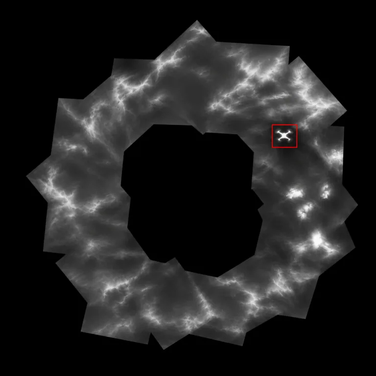
Panoramic Airspace Surveillance
Full azimuth coverage using a single thermal sensor per scanning unit.
Long-Range Drone Detection
Architecture supports modeled drone detection ranges up to 650 meters, depending on configuration and conditions.
Vertical Sky Coverage
Vertical detection band, swept across the horizon at configurable elevation angles.
Coverage varies by system configuration, and multi-sensor configurations are possible. Ranges are modeled, not field-validated.
A configurable airspace watch
Place a lightweight, low-cost, configurable drone locator to watch low-altitude airspace around your site.
Bring the compact platform to the site rather than building the site around a large installation.
A shared scanning core and lightweight head keep the platform focused on practical deployment.
Match the scan head’s viewing angle to the airspace. The standalone example above uses a 12° upward tilt.
Range is direct sensor-to-target distance, not ground radius.
Coming soon
An early concept for the Drone Detection interface. The software is in development.
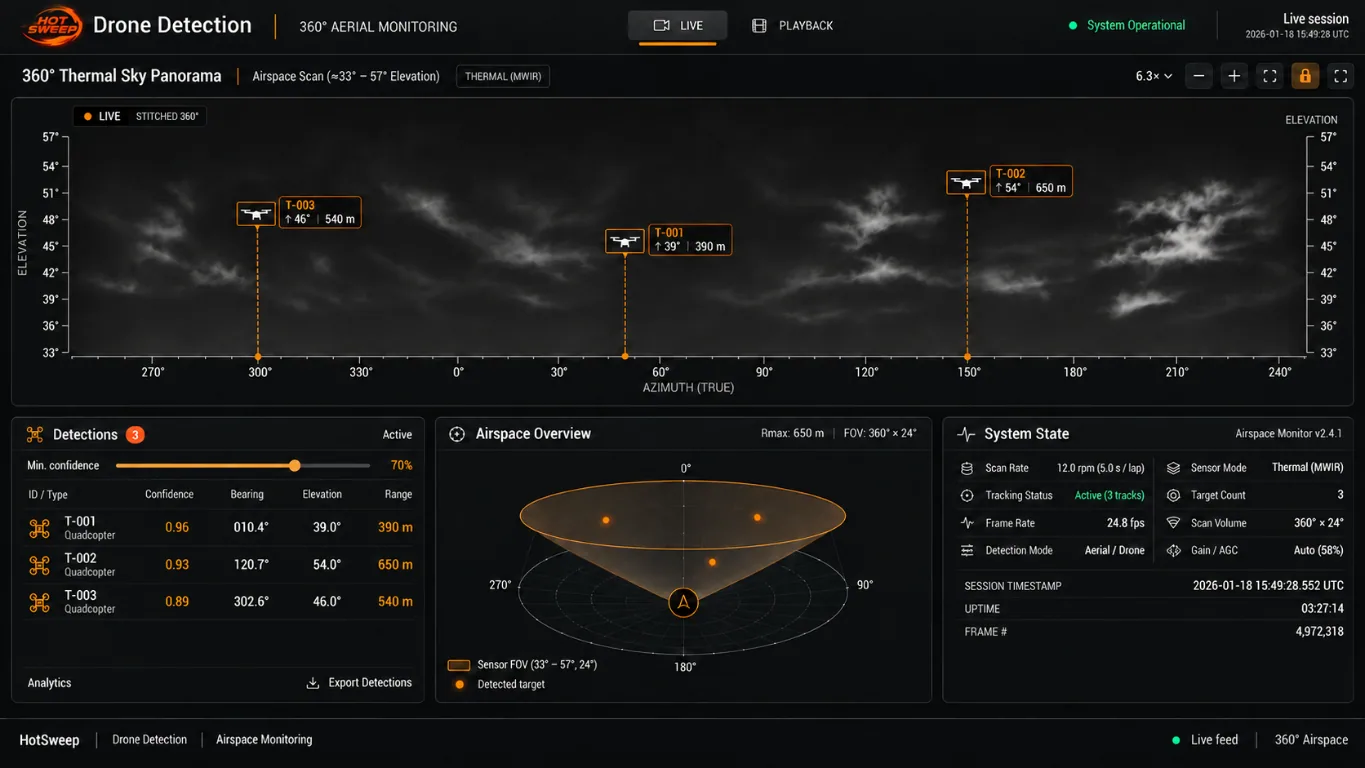
The interface shown is a concept, not a working interface. Its targets, ranges, settings, and status indicators are illustrative.
Applications
Start with what you need to see. Let’s find the right fit for your team and environment.
Place a lightweight, configurable drone locator to monitor low-altitude airspace around your site.
Help define how candidate detections, tracking, and directional alerts should support your team.
Work with us on field validation of the modeled zones and sensor testing in your operating environment.
Early stage · Now partnering
HotSweep is an early-stage system, and we’re actively looking for partnerships and product integrations. Contact us to request a demo, explore a product, or discuss an integration.